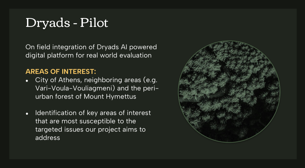
Creating a digital twin of a forest by incorporating Artificial Intelligence (AI) mechanisms, through the integration of time series data from the Internet of Things (IoT) (using MQTT protocol), images and parameters for the forest status via drones, could be exploited as a central digital platform for geospatial representation of the environment and real-time simulation. More specifically, information on the species of trees in the forest area, their characteristics (e.g., age), fauna recording, etc. will be collected at this single reference point and captured in geospatial 3D models. This information will also be combined with IoT data (e.g. temperature, humidity, images, drones with sensors, etc.), real-time and historical, to create the microclimate profile and characteristics of individual forest areas (e.g. drought, deforestation).
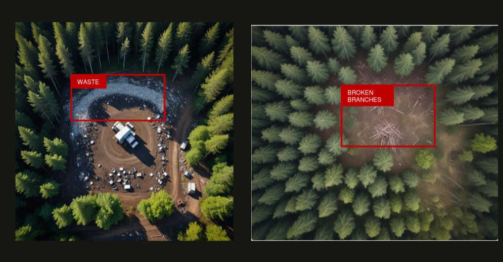
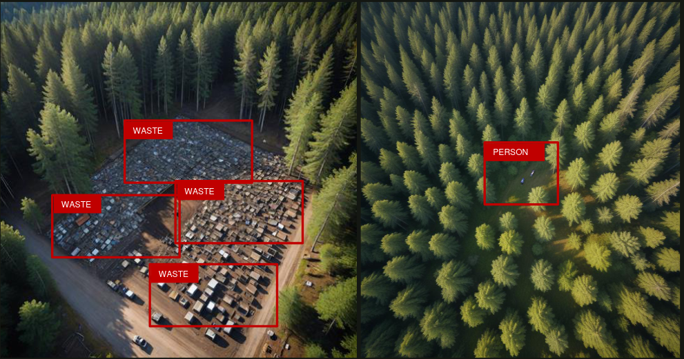
Through the use of AI and the digital twin components, a vulnerability analysis could be realized for individual forest areas, using all data collected from different sources, to prevent and manage risks. The possible outbreaks of dangerous phenomena (e.g. fire, garbage concentration, lack of moisture and high temperatures in localized areas) are highlighted to focus patrols and surveillance e.g. by drones. Also, historical data analysis can make the assessment of the impact of climate change and optimize the forest management e.g., to avoid deforestation.
In addition, real-time data and deep machine learning mechanisms can allow early identification of dangerous phenomena and assessment of their evolution. The combination of digital twin and AI simulation contribute to the prediction of the evolution of dangerous phenomena and can be an innovative tool for simulating forest fires and their evolution towards an efficient forest fire management.